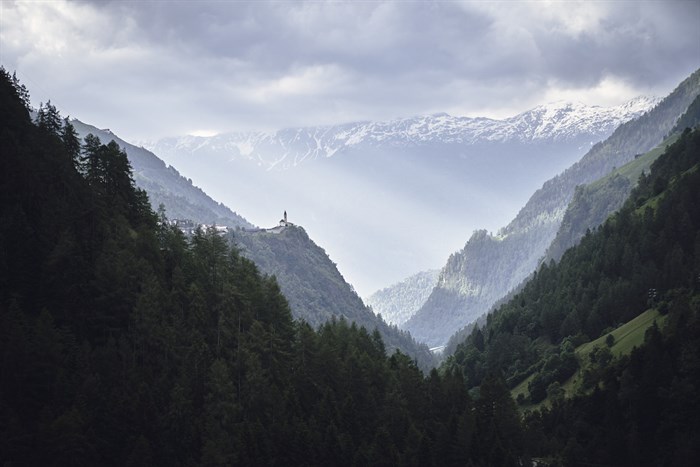
Now more than ever, we can appreciate unrestricted freedom of movement. Being able to let your feet follow your gaze over the ancient mountains. To just go for it, to feel your muscles, to look into the nameless distance, with the sun on your face and breathe freely.
In summer especially, vitamin D stores are replenished; and an active body leads the mind to joy!
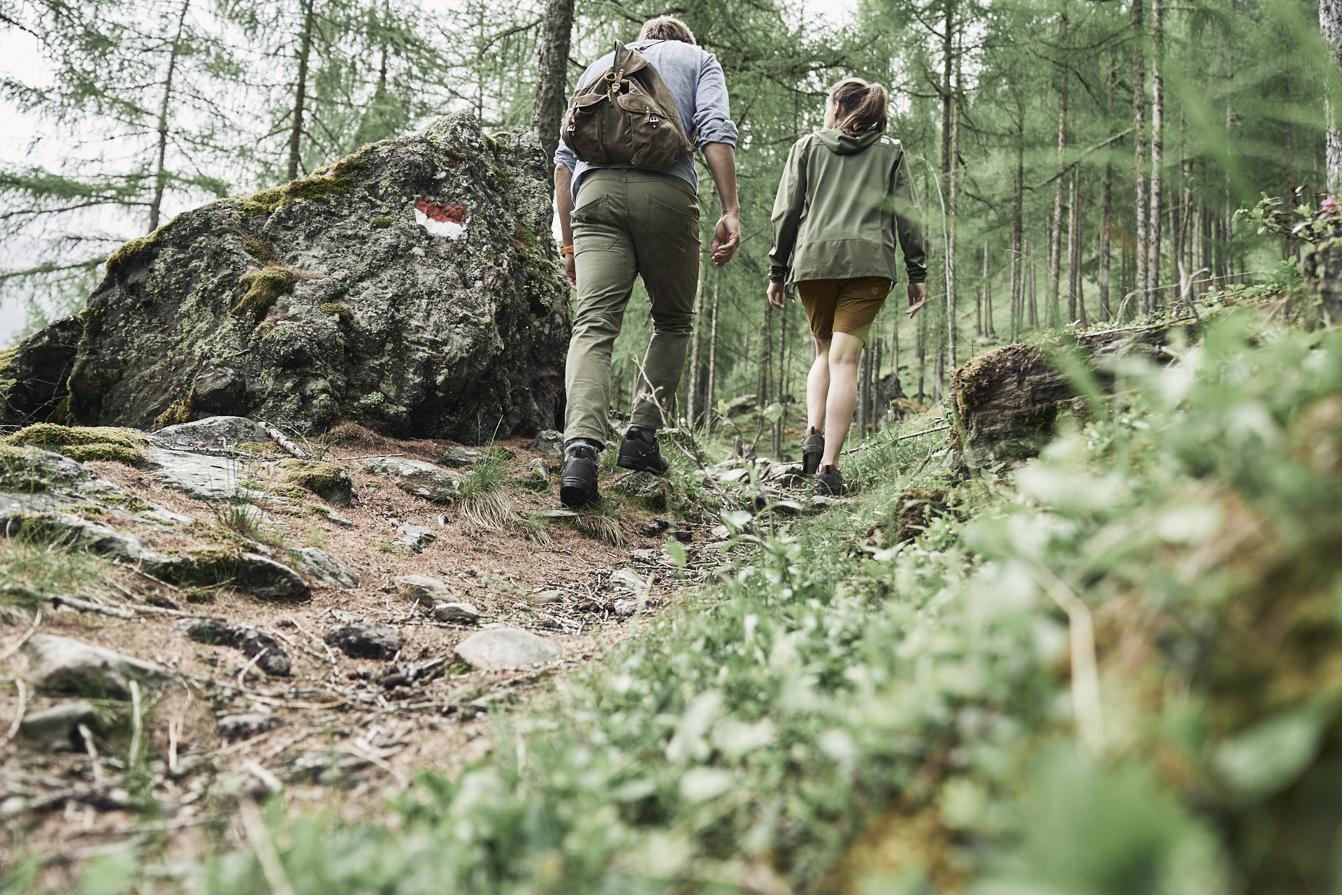
Since the variety of hiking possibilities in as around the Senales Valley is almost infinite, here are some recommendations. Many of the trails lead along pristine routes and are well maintained and signposted.
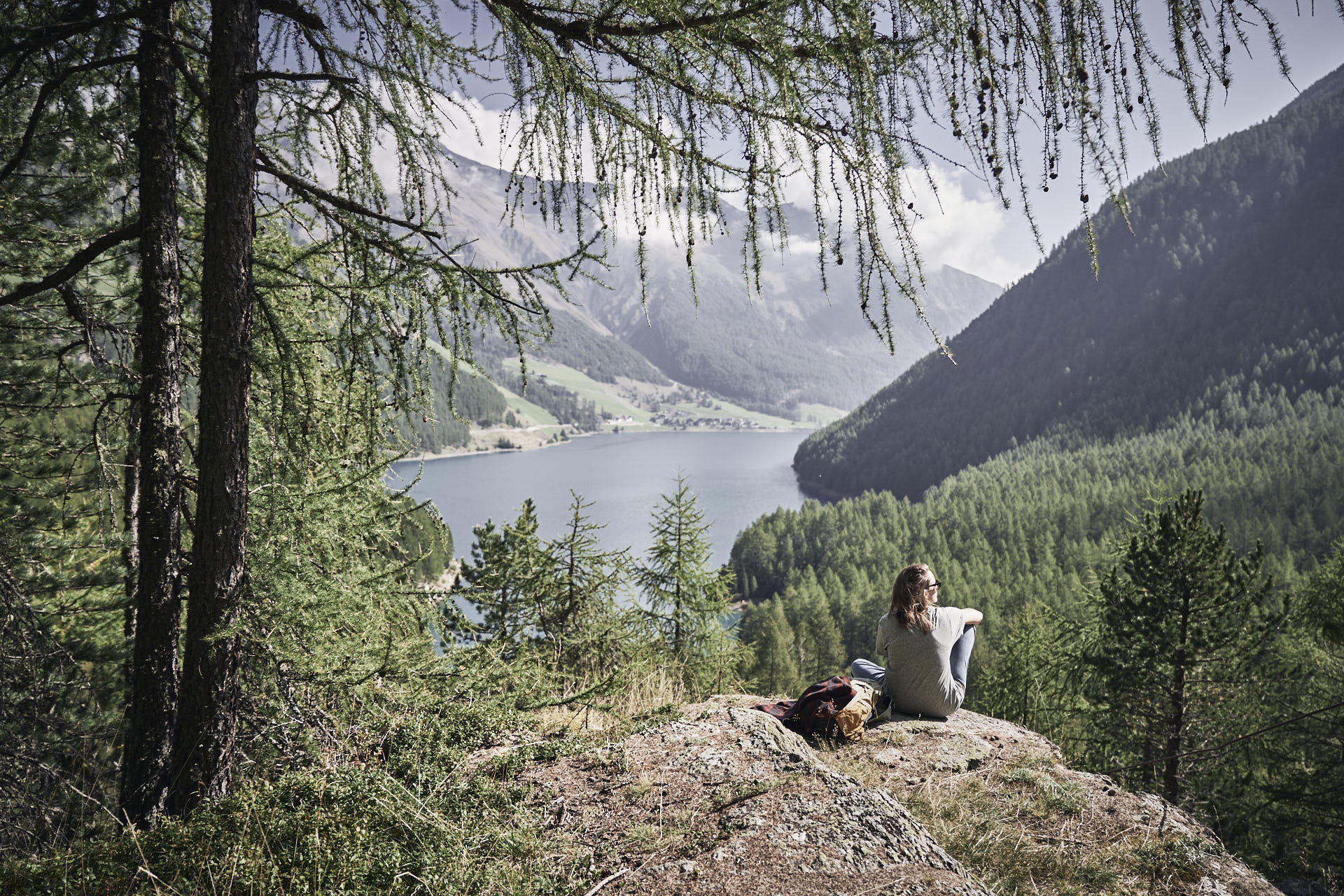
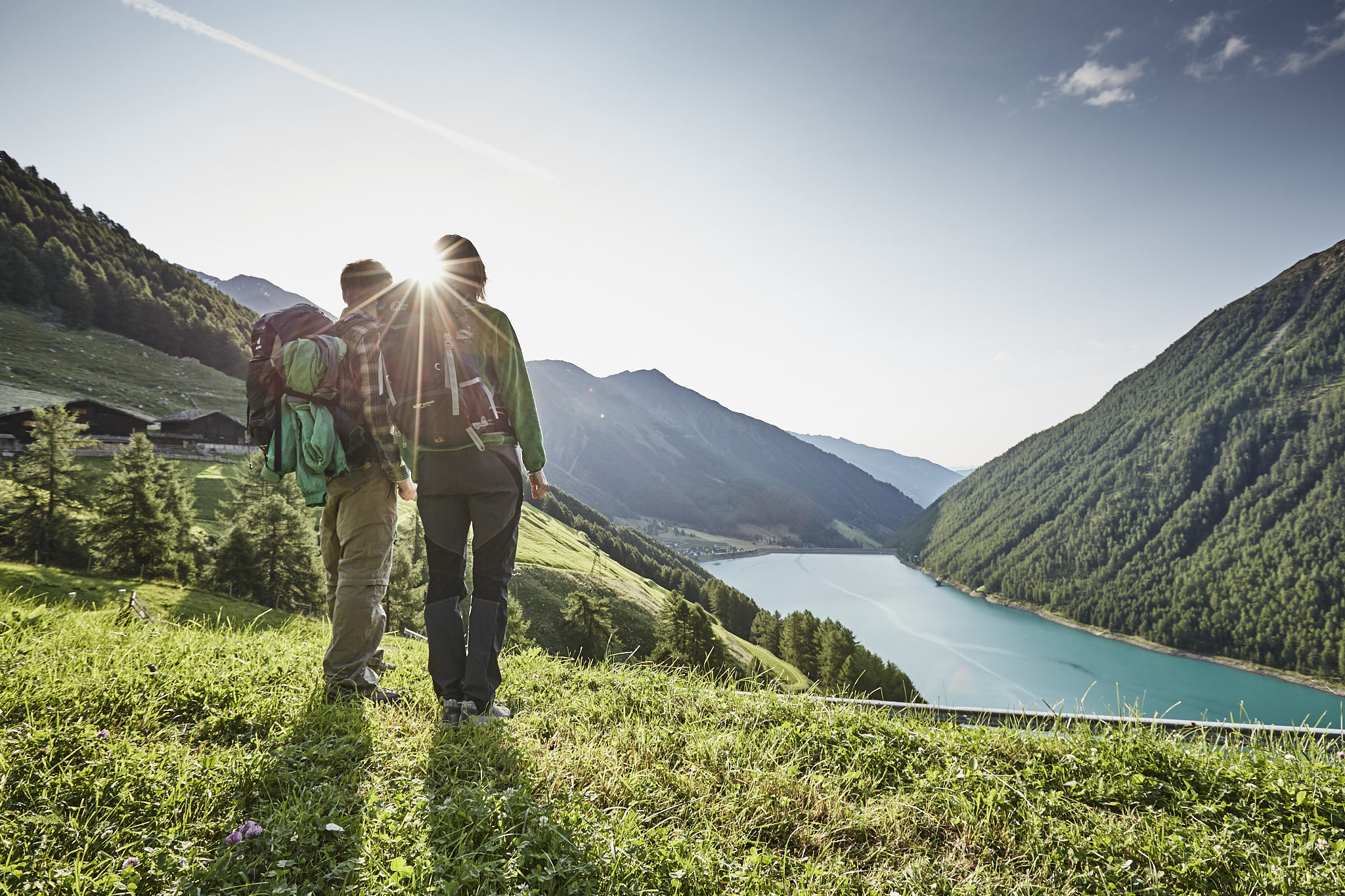
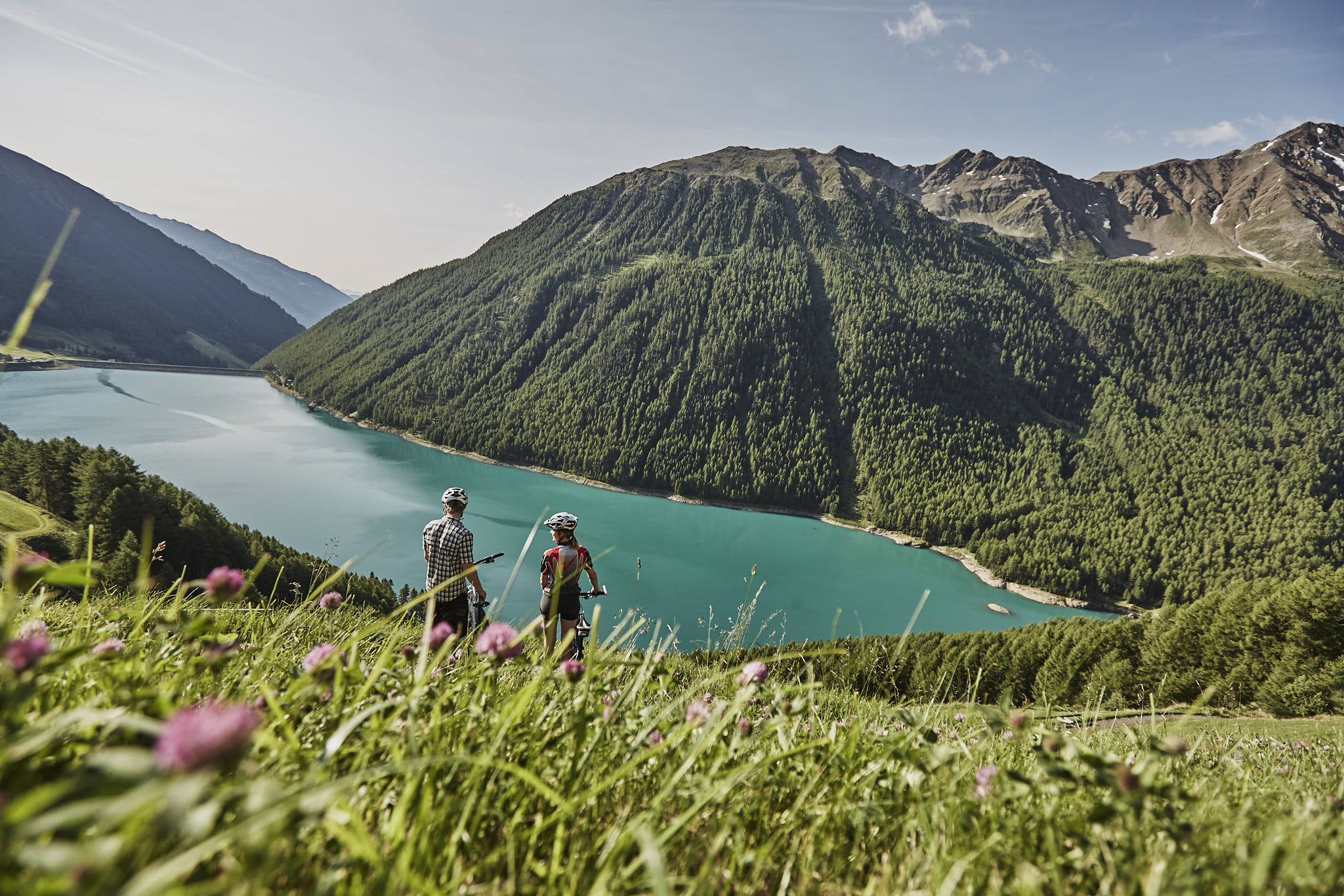
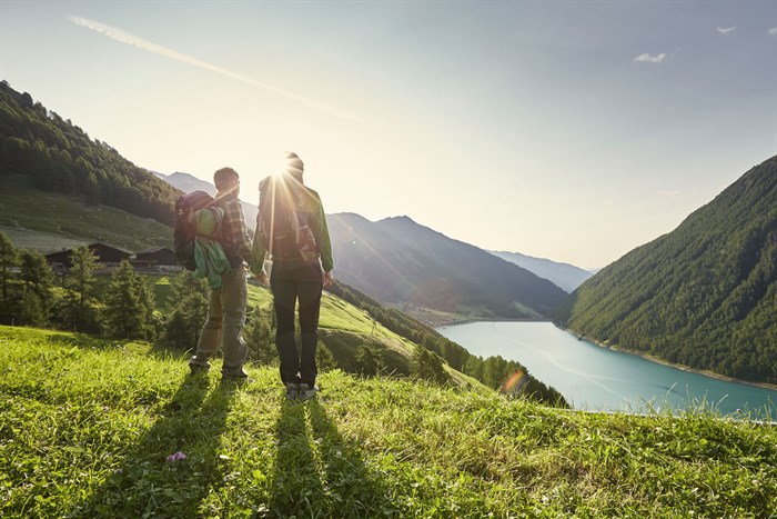
The Vernagt Reservoir is like a mirror embedded in the landscape. Its green-blue water is enveloped by tender green larches. In summer and autumn, the reservoir showcases the surrounding forests and peaks. Built in the 1950s, the dam wall is 65 meters high and holds enormous masses of water, nestled placidly into the landscape.
At the southern edge of the pretty mountain village of Vernagt, just follow the Seerundweg sign and you can walk around the reservoir in a leisurely two hours. If you feel like a longer hike, take a slight turn after the lookout point and you’ll reach the farms above the lake.
Along Trail 8A you will head up to Finailhof, which lies at an altitude of 1973 meters and was once Europe's highest-lying grain farm. Here corn was cultivated until 1967. The route continues from Finailhof to Raffeinhof and then back down to Tisenhof and finally back to Vernagt.
Tipp: From the reservoir up to the Ötzi discovery site
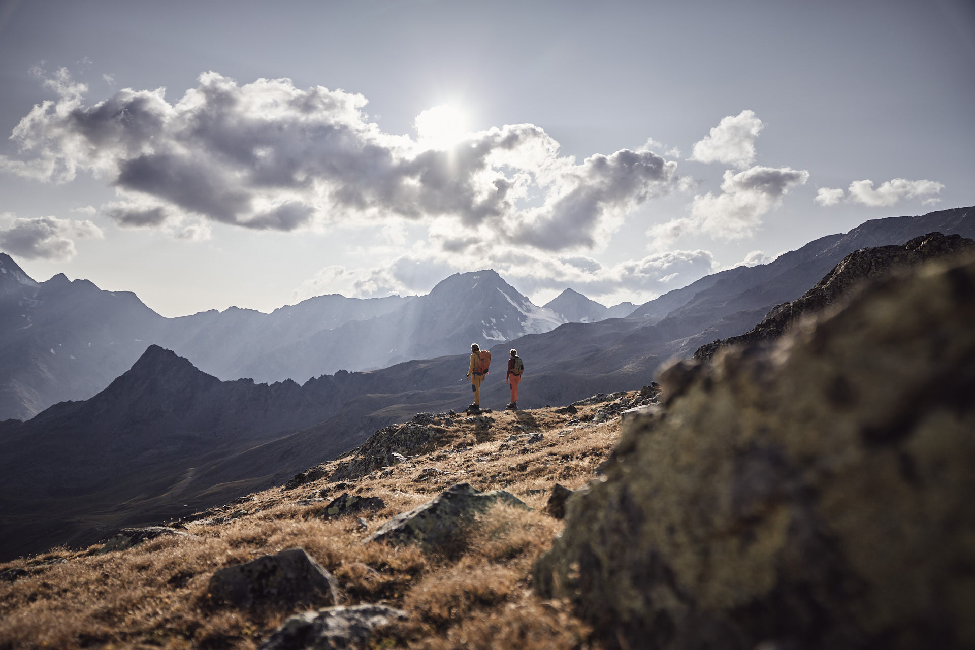
It takes about 3.5 hours to get from the reservoir to Similaunhütte at 3,019 meters, from where you can continue on to the site where Ötzi was discovered, near Hauslabjoch, at about 3,200m.
South Tyrol's largest nature park spreads over 8 municipalities and 33,430 hectares, making it one of the most varied areas in the world. It encompasses the entire Texel Group, passing through rustic high-mountain landscapes including the Senales and Passeier valleys, and parts of the Stubai and Ötztal Alps, including the Schnalser and Gurgler Kamm.
Branching off again at Vernagt Reservoir, it takes 3.00 hours to hike to Nockspitze Peak. The entire Senales Valley can be seen from up there: Nockspitze is the valley’s centralmost mountain.
The Spronser Seen, a chain of high alpine lakes, is also a wonderful day hike. The path leads past numerous cup marks on the way to Pfitscher Jöchl. These date back to the Bronze Age and just rest there, quiet and humble, on the edge of the path. Witnesses of a present that is always inevitably connected through the centuries with its history of creation
Bella Vista Mountain Lodge belongs to the Golden Rose; they go together like Stefania and Paul or transhumance and the high-alpine pastures. Following the ancient footpaths, Marker 3 points the way up into the mountains out of Kurzras (2,011 m). The hike takes 2.3 hours and leads through the Oberberg Valley and below Steinschlagspitze Peak, all the way up to the Stueteben Plateau. There the path climbs a bit, and the landscape becomes increasingly rocky. If you head northeast, you’ll arrive at Bella Vista (2,842 m).
If you prefer a more leisurely route, take the Senales Valley Glacier Cable Car to South Tyrol’s highest mountain station at 3,212 meters. From there, follow Trail No. 3 downhill until you reach Bella Vista Mountain Refuge at 2,842 m.
Another really picturesque hike is the one up to Berglalm, since it leads through moss-covered coniferous forests. The starting point is once again Kurzras. Path No. 4 goes through a primeval mountain forest and across the vast pasturelands of the Lagaun Valley at 2200m. The last section before reaching Berglalm runs through a beautiful forest of gnarled pines, (Trail No. 5; last section No. 13) past Grubalm, and then very steeply down, here again through a coniferous forest, to Vernagt.

The well-known Merano High Mountain Trail passes by many gems, including Katharinaberg. The Unterstellhof, an entry point to the 6th stage of the high-altitude trail, is easily reached by cable car from Naturno. Once at the upper level, directly at the Unterstellhof, you can reach the high-altitude trail in just a few steps. The view sweeps across the Vinschgau Valley and Juval Castle before the high-altitude trail turns off into the Schnals Valley, on the western slope.
Passing through alpine meadows and steep slopes, the path leads past meticulously maintained mountain farms, with their red and black larch woods colored by the sun. As you follow the old high-altitude path, you will come to Katharinaberg, a small mountain village on a high rocky slope. Schnalsburg Castle, which was the valley’s namesake, once stood here. The former castle’s tower is now a bell tower. When the wind blows right, the sound of the bells can be heard all the way in Certosa. Quiet, timeless, soulful.